Berwick Formation Outcrop (400 million years ago)
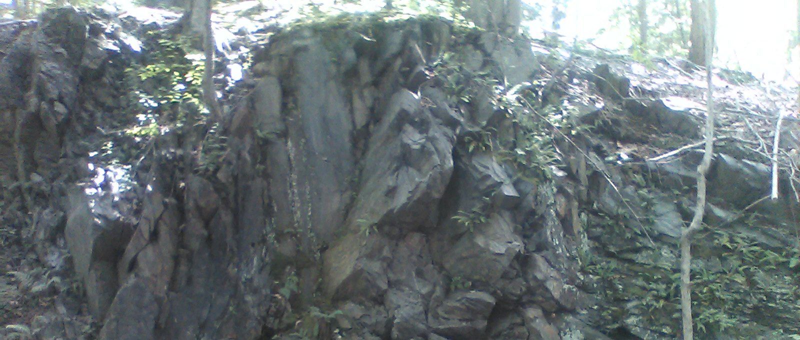
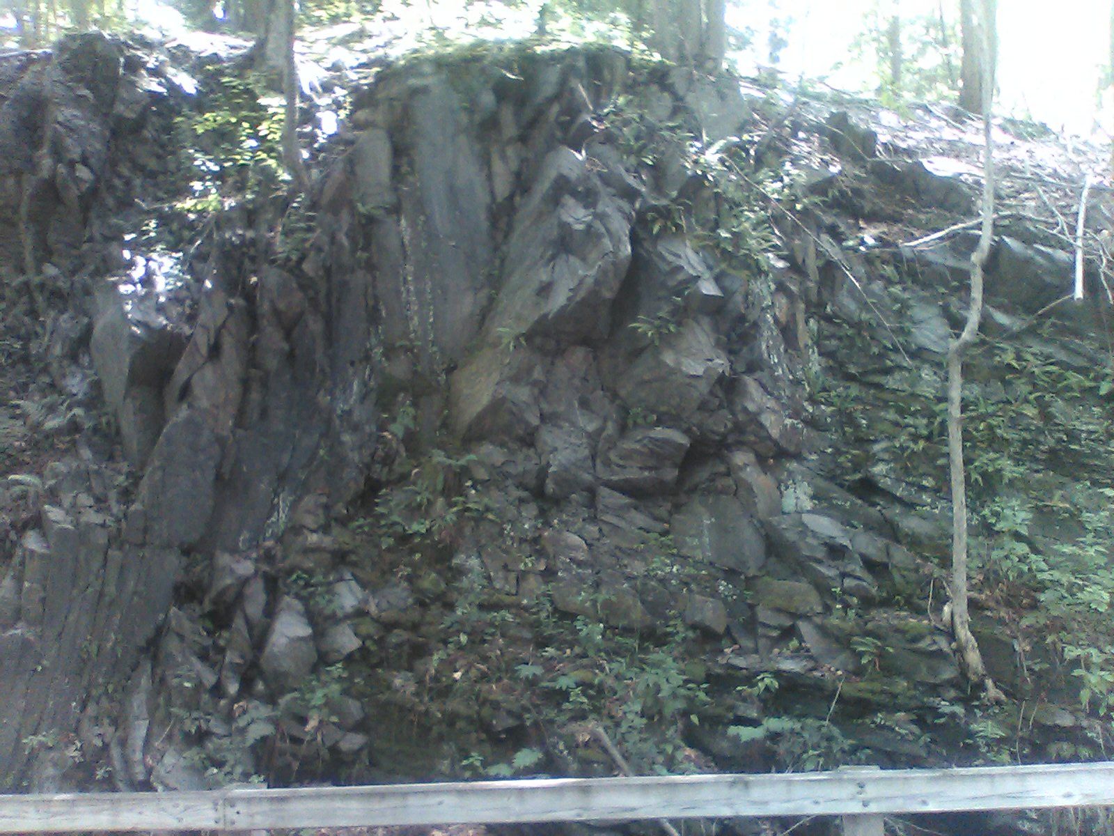
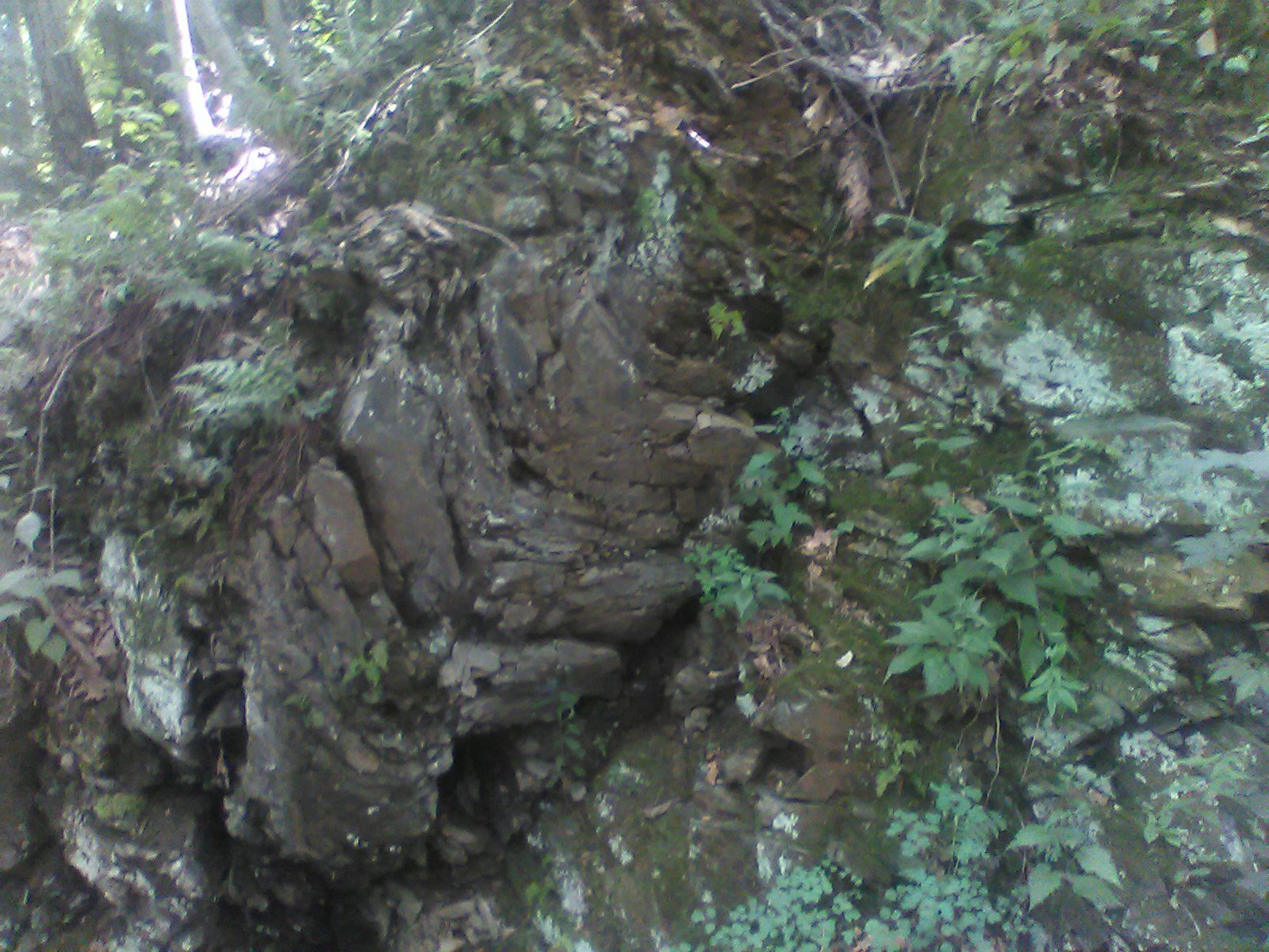
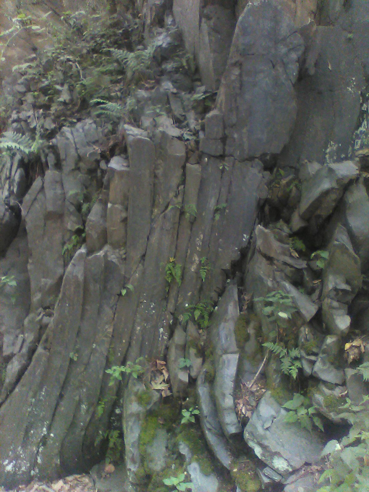
About 0.75 miles south of Railroad Square in Pepperell (mile 7.2), a section of rock was removed to make way for the railroad. This exposed a wall of bedrock from the Berwick Formation dating back approximately 400 million years to the Silurian era, a time when the first land plants were appearing but there were no land animals. The most common large animals were shellfish.
This rock was formed and reformed miles underground. What you see here is not neat horizontal layers of sedimentary rock but something much more interesting. The layers have been disrupted by geological activity such as the collisions of tectonic plates, volcanoes, etc. You can see the result in layers of rock that have been twisted and thrown into different angles. Some individual rocks that were in a molten state at the time of these events are bent into curves. Within this wall you can see several joints, faults, and folds separating rock of different orientations.
Take some time to notice the results of this geological activity and image the forces required to bring them about. You can see other outcrops a little further south (mile 6.9) and just north of the Peabody Street underpass (mile 2.8).


Berwick formation outcrop
See more information about local bedrock formations.
Clinton-Newbury Fault Zone (250 to 400 million years ago)
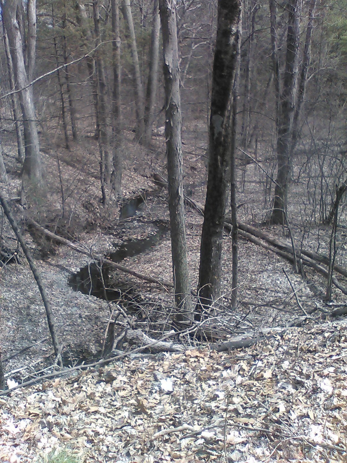
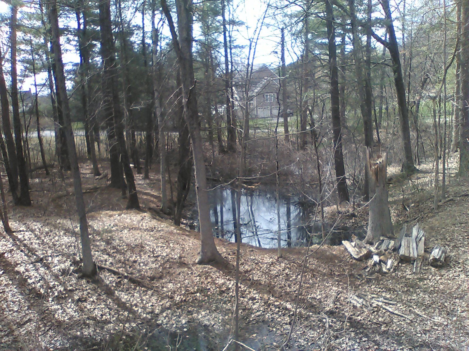
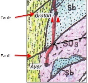
Dating from before the age of the dinosaurs, a large system of faults extends from Newbury in northeast Massachusetts to Clinton and Worcester in the center of the state and on into Connecticut. A steep ravine south of Smith Street in Groton is visible evidence of one of these faults. The NRRT at this point runs along an embankment that was built across the ravine providing views on both sides of the trail. James Brook follows the fault line.
Receding Glaciers (10,000 years ago)
Near the end of the Pleistocene epoch late stone-age communities were developing in the Near East. Glaciers that had periodically covered most of the northern hemisphere for the previous 2 million years began to recede, leaving behind the beginnings of the landscape we know today.
Drumlin Swarm
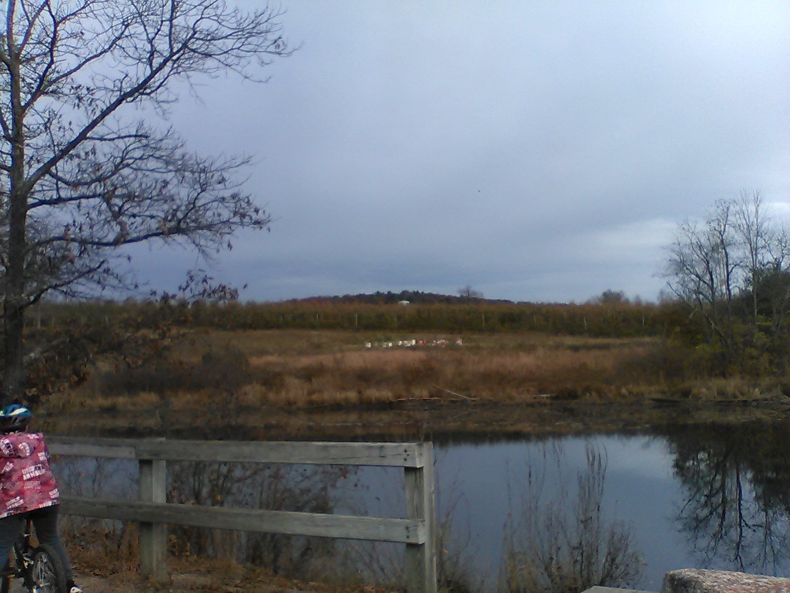
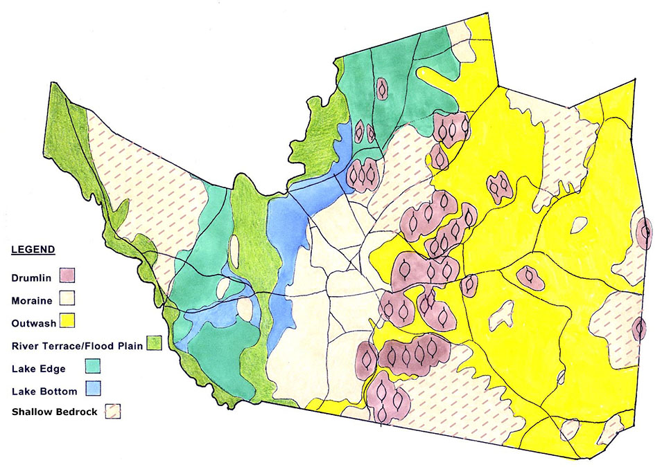
Drumlins are distinctively shaped elongated hills formed by glacial sediment. As the glaciers receded, they left behind a swarm of drumlins to the east of the trail in Groton. Because of the tree cover it's difficult to see drumlins along most of the trail. The best view is looking east from the trail near the Groton School Pond. A long low drumlin is in the middle distance and a taller one, Indian Hill, is behind it. The building between them is a residence on Old Ayer Road in Groton.
Lake Nashua and the Nashua River Watershed
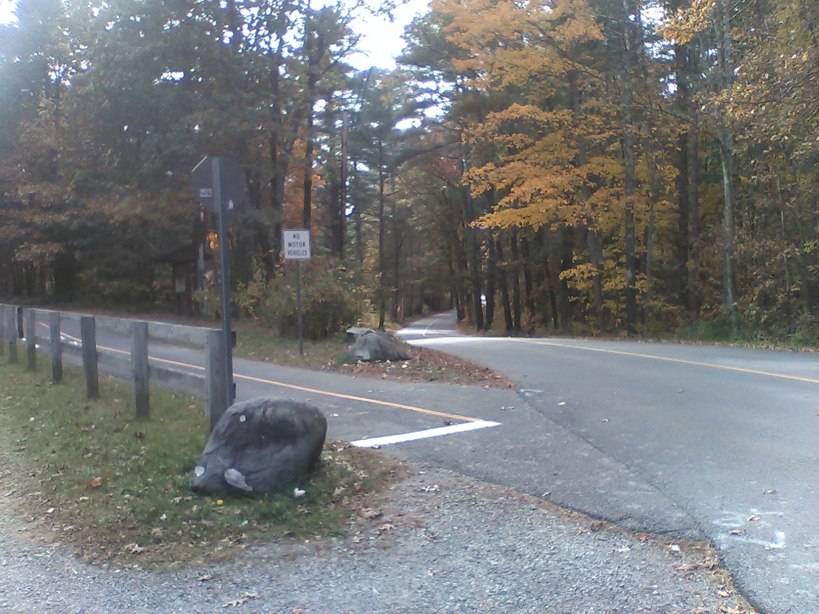
As the glaciers melted and receded a large lake formed extending from Nashua over much of Pepperell and down what is now the Nashua River to Boylston. This is known as glacial Lake Nashua. The NRRT parking lot at Sand Hill Road in Groton sits on what was part of the lakeshore. Looking down the road to west you can see the descent into the lake.
Eventually streams broke out of this lake to form the Nashua River and its watershed. Initially the Nashua River ran south, but as the glacier receded and the land resettled, the current changed to the south-to-north flow of today.
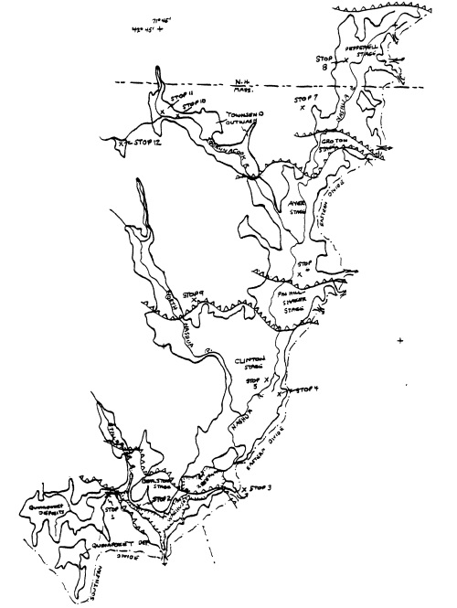
This sketch from a report by Carl Koteff and Byron D. Stone shows the extent of glacial Lake Nashua.
See Also
These sites offer more information about local geology.

