Several other trails and local conversation lands interconnect with the Nashua River Rail Trail.
The Nashua Southwest Trail System (Nashua Conservation Commission) is an extensive series of trails accessible from the parking lot on Gilson Road.
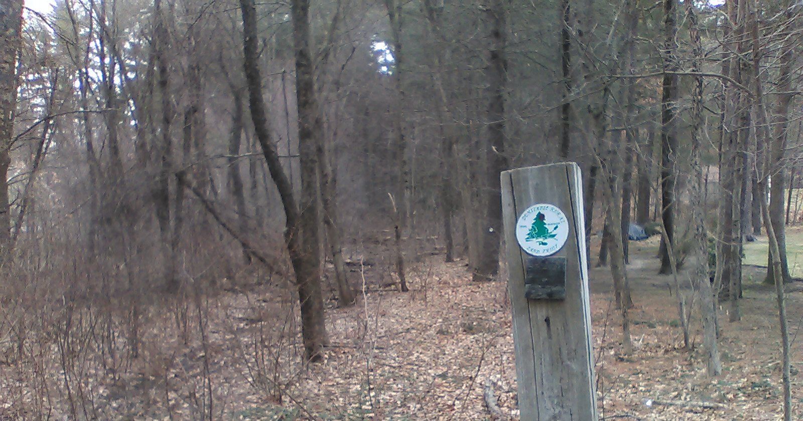
A network of trails in the Dunstable Rural Land Trust is accessible from Hollis Street just south of the NRRT parking lot.
An unmarked trail off of the NRRT about one eighth of a mile south of the state line leads to a quiet spot on the bank of the Nashua River. Another trail runs north and south alongside the river. (This area is also accessible from a trail at the state line, but it might be muddy during wet seasons.)
Dirt trails run between the NRRT and the Nashua River in East Pepperell. These trails interconnect with trails in the Unkety Brook Wildlife Management Area in Dunstable. See the Pepperell Open Space Map (Nashoba Conservation Trust) and the Dunstable Recreation Areas map.
An embankment in East Pepperell is the site of an old rail spur that led to a bridge across the Nashua River. A few remnants of the bridge are still visible at the riverside.
The town of Groton has an extensive network of dirt trails, allow of which can be viewed on the Groton Trail Map created by Friends of the Groton Trails Network
The following trails are accessible from the NRRT:
The Harry Rich State Forest abuts the trail north of Sand Hill Road. You can access its system of dirt trail directly from the NRRT.
The Longley Estates I Conservation Area lies east of NRRT north of Sand Hill Road (right next to the state forest trail). This trail leads up a steep, sandy climb. It then interconnects with trails in the Cronin Conservation Area leading to Drumlin Hill Road in Groton.
View approximate Location
The Cronin Conservation Area lies east of NRRT north of Sand Hill Road. This flat trail connects with a trailhead near 16 Drumlin Hill Road in Groton.
View approximate Location
The Longley Estates II Conservation Area lies east of NRRT just north of Sand Hill Road. This trail leads up a steep climb to a trailhead near the circle on Drumlin Hill Road in Groton.
View approximate Location
Shepley Hill is accessible from the NRRT Sand Hill parking lot. This area contains a series of trails used for horse riding as well as for hiking and mountain biking. This trail begins as a moderate climb. You can then take any of several steeper trails up the hill or continue around to an easier trail around the east side of the hill.
View approximate Location
Shepley Hill is also accessible from the NRRT south of the Sand Hill parking lot (where the trail bends). This trail has a short steep section before flattening out. You can follow steep trails up the hill or follow around to the east side of the hill (crossing Nod Brook twice). An old soapstone quarry (now flooded) is near the south end of the area.
View approximate Location
The Phoebe R. Keyes Woods is accessible from the NRRT between Peabody Street and the Groton School Pond. The trails lead to trailheads on Peabody Street and Farmer Row in Groton.
View approximate Location
The Eliades Conservation Land abuts the trail south of Smith Street. Trails lead to trailheads on Pacer Road in Groton and to the Nashoba Valley Medical Center.
View approximate Location
The Eliades Conservation Land is also accessible from this trail head a little further south on the NRRT.
View approximate Location