Bedrock Geology of the NRRT
The NRRT passes over three bedrock formation that developed during the Silurian era, approximately 430 million years ago:
- Ayer and Chelmsford Granite formation underlies the southern-most section of the trail.
- Berwick formation underlies the trail through Groton and much of Pepperell.
- Oakdale formation underlies the northern-most section of the trail.
The following map by Nancy Jackson is Modified from Robinson and Goldsmith, 1991.
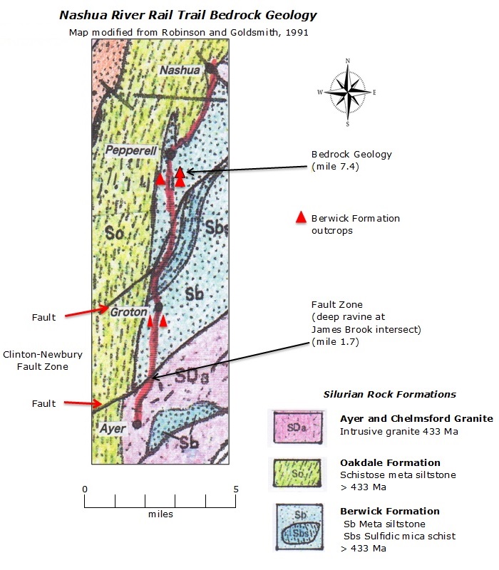
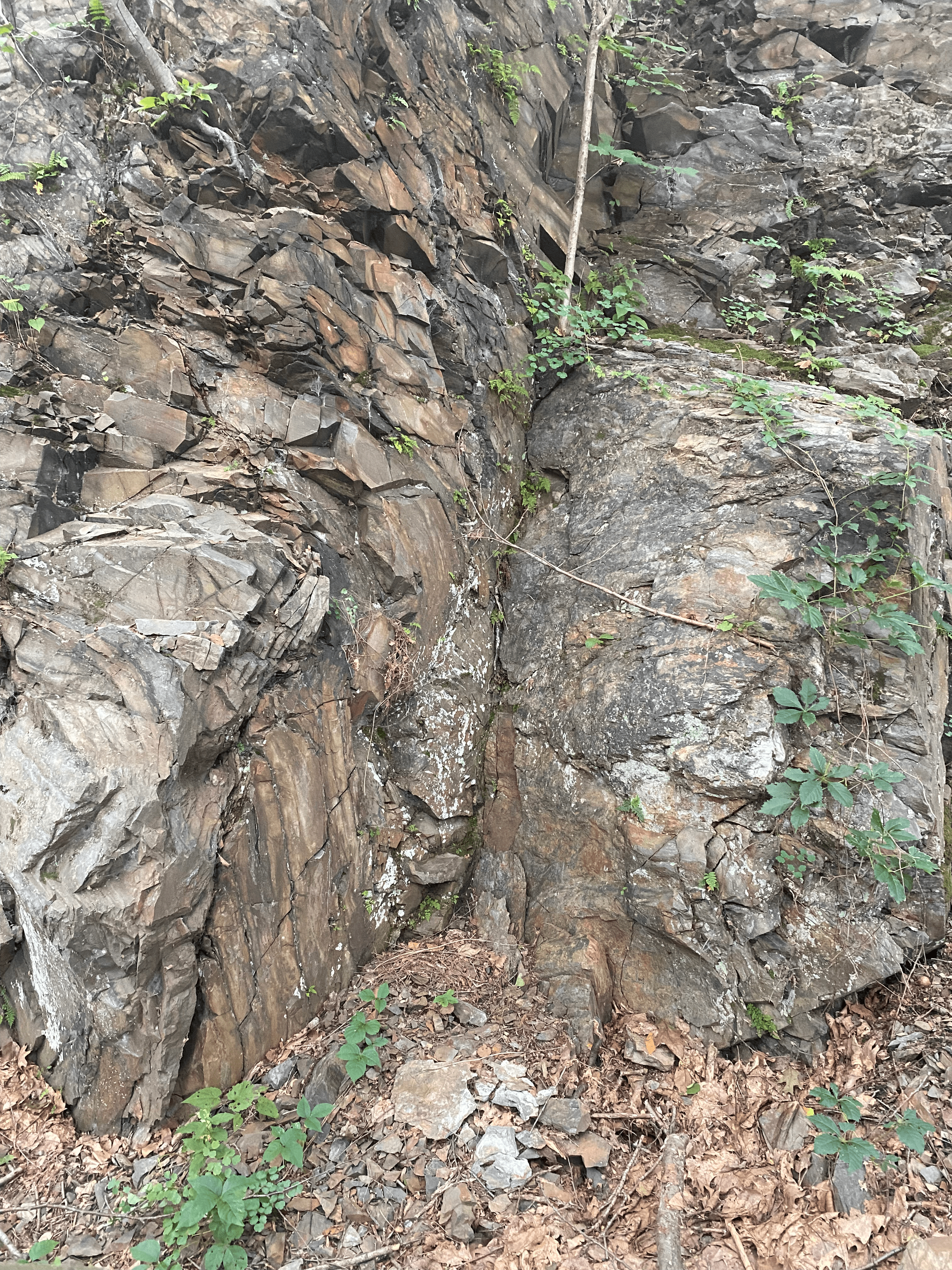
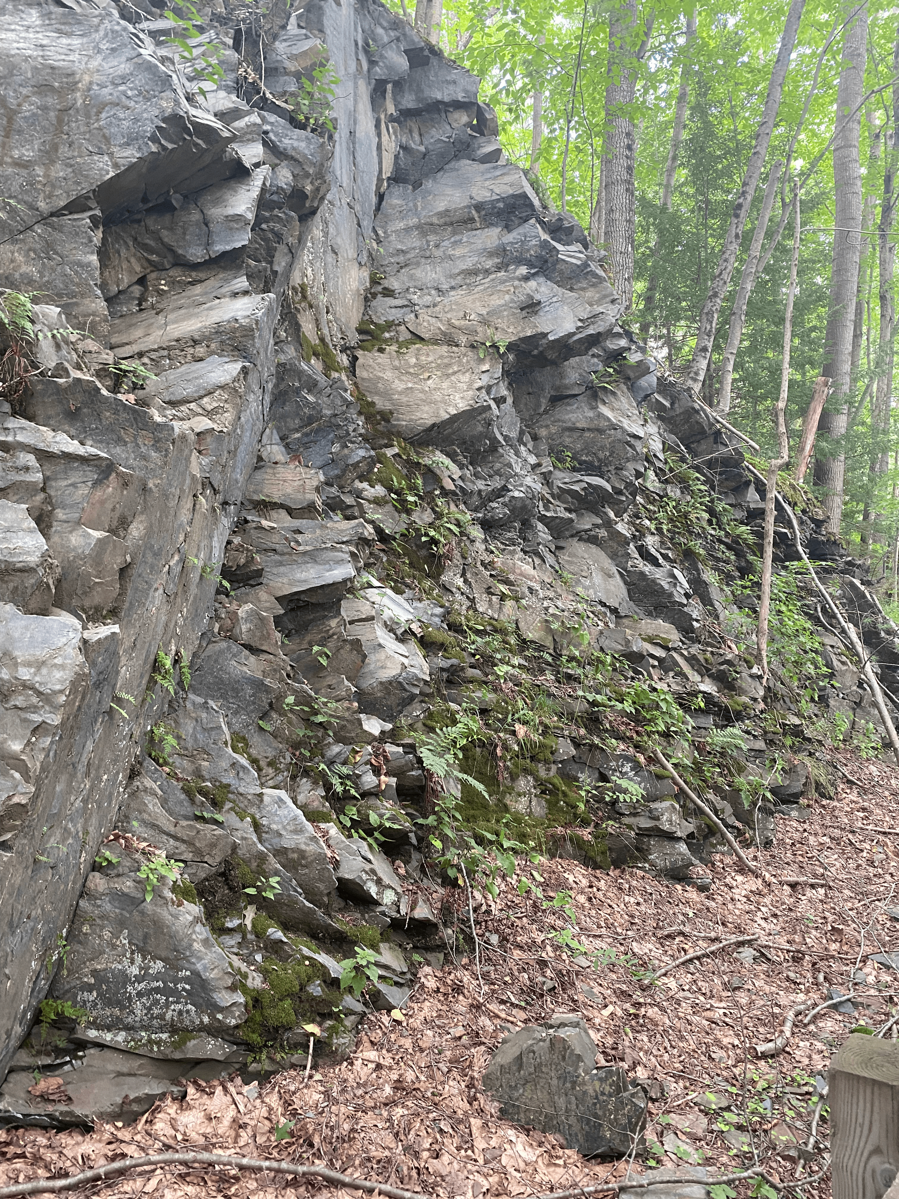
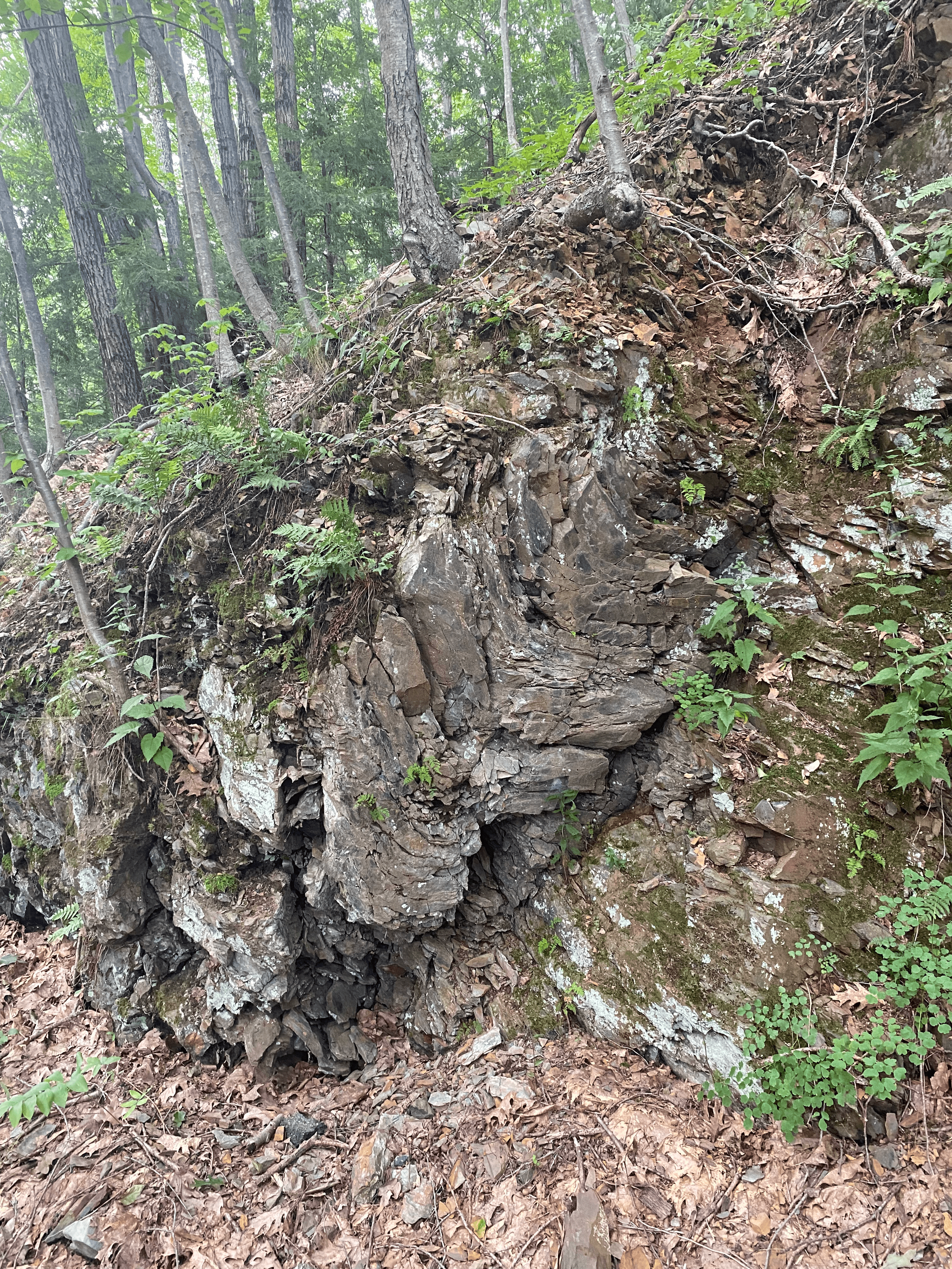
Each formation consists of different rock types. Most of the bedrock is buried beneath the surface, but in some locations an outcrop of bedrock is visible above the surface. Several outcrops of the Berwick formation are visible in Pepperell and Groton.
Typically rock beddings result in smooth linear layers (like a stack of books). This is visible in outcrops that have not been disturbed by platonic collisions and other geological disruptions. By contrast, the outcrops visible along the NRRT have been subject to various forces that have caused visible bending, twisting, and breaking.
This testifies to the significant geological activities in Massachusetts, especially in Pepperell. When Pangea was taking shape, Europe collided with the east coast of America, allowing for a variety of rocks from multiple locations to mix.
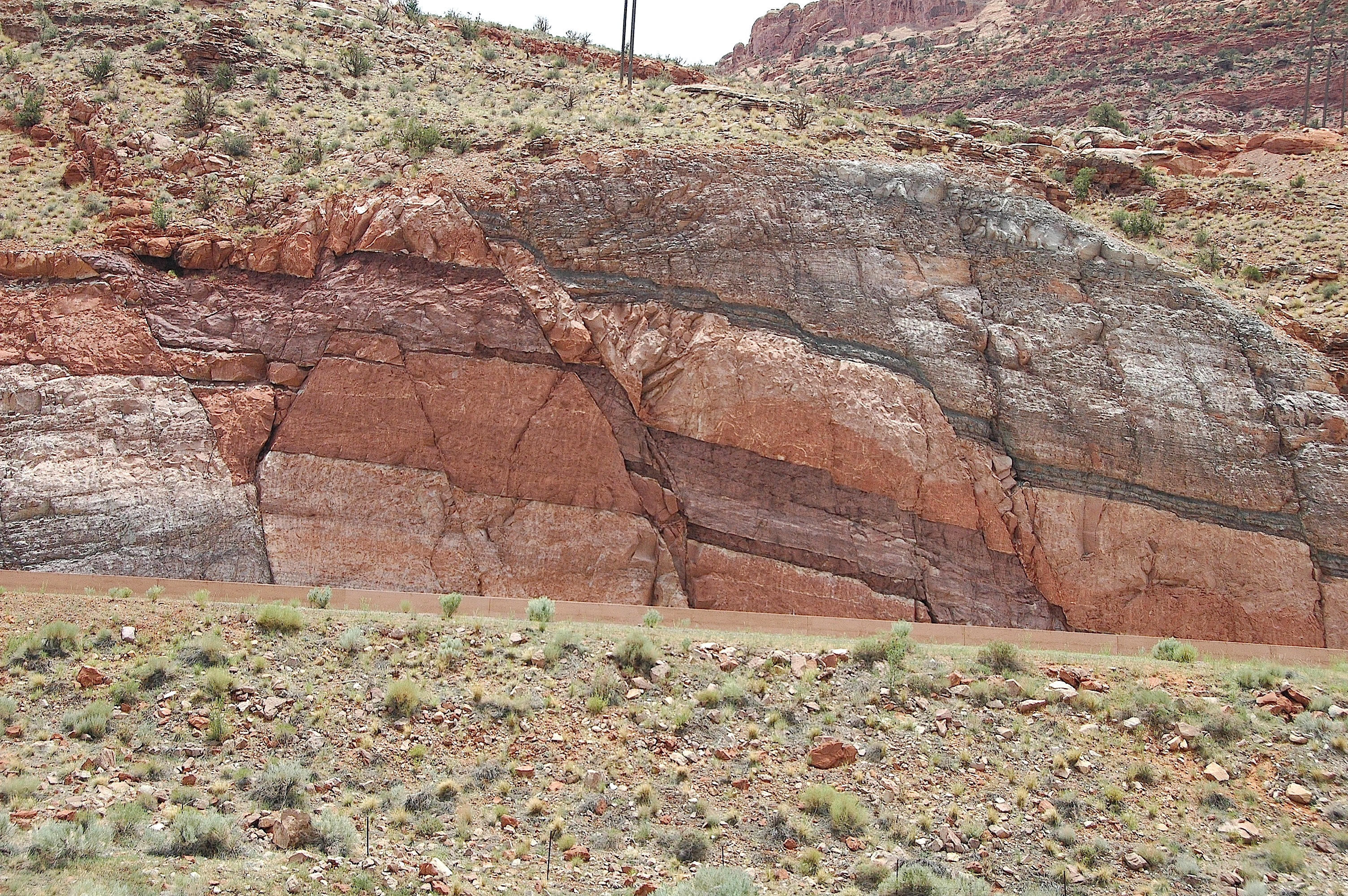
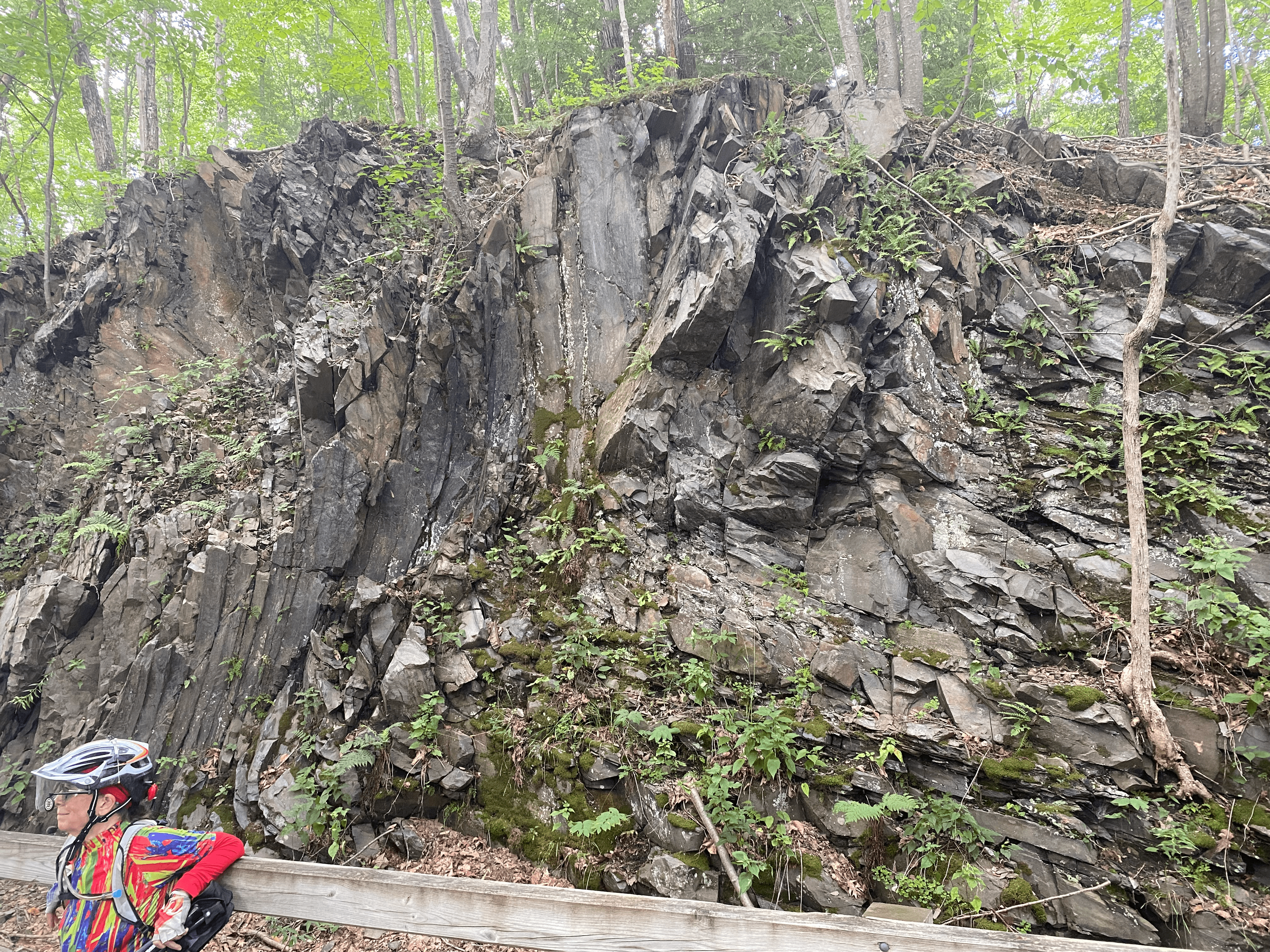
Looking beyond its beauty, one can notice the faults, folds and joints within the Berwick formation outcrop. The bending occurred when the rock was exposed to high pressures and temperatures when in a molten or semi-molten condition.
